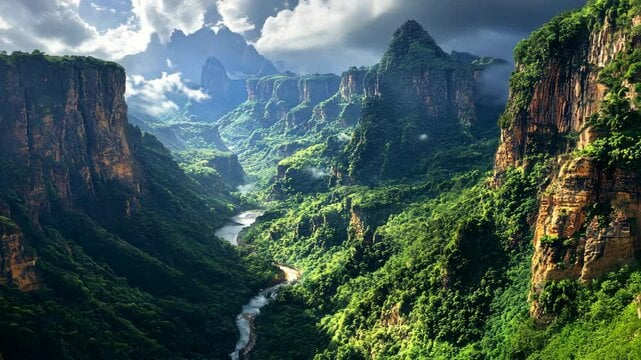
Cañón del Sumidero, located in the Mexican state of Chiapas, is perhaps the most famous, vibrant and visited of all the canyons in Mexico. Moreover, it is also easily accessible. Here are 10 basic facts about this amazing creation of nature.
1. The canyon is located in four state municipalities at once: Nuevo Usumacinta, Chiapa de Corzo, San Fernando and Tuxtla Gutiérrez, and the distance to the canyon from the state capital — Tuxtla Gutiérrez-is only five kilometers.
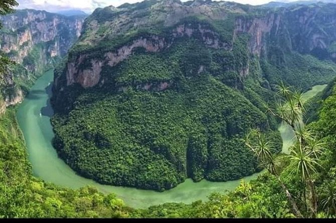
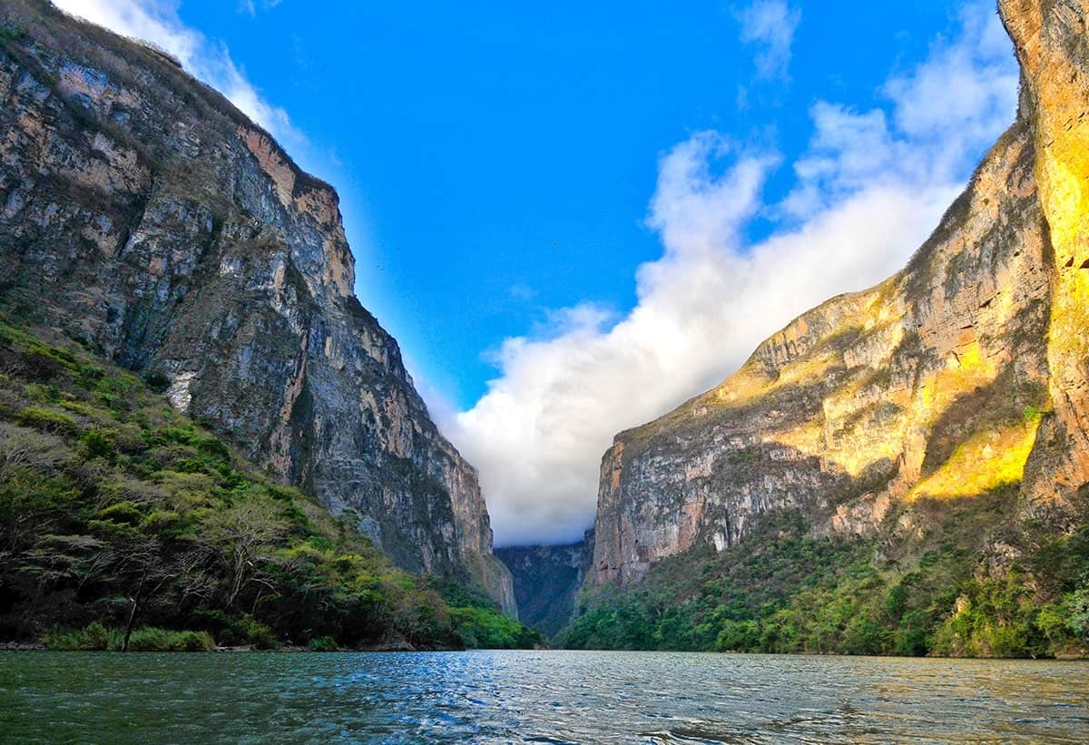
2. The canyon was formed about 70 million years ago, which is about the same time as the Grand Canyon in Arizona. Then it was twice as long and deep as the current one. 15 million years ago, the sea waters receded, and the canyon became part of the land. So the Grijalva River was formed, flowing along the bottom of a tectonic fault, the walls of which are made of limestone from the Upper Mesozoic period, in which fossils of sea creatures are clearly visible. The river has a sharp bend of about 90 degrees in the narrowest and most picturesque place with a length of 13 km.
In total, the Grijalva River has 32 rapids, five waterfalls flow out of the walls on its banks, and two freshwater streams flow into it. There are three large river beaches along the river.
3. Sumidero Canyon National Park has five viewing platforms, each with its own name: La Ceiba, La Coyota, El Roblar, El Tepehuaje and Los Chiapa. The distance between the extreme ones is 17 km. The highest of them is El Roblar, with a height of 1200 meters, the bottom of the canyon and the bend of the river are perfectly visible. The National Park also has two mountain bike trails. Admission to the national park costs 35 pesos, and the ticket is valid for two days.
4. The canyon was hardly explored until 1960. Then he was in an impenetrable jungle, without access to transport. In 1895, three Frenchmen tried to explore the canyon, but drowned in the river. In 1932, the same fate befell the American. This gave rise to legends about witchcraft in these parts, as well as about the ferocity of river crocodiles. The river, with its 30-meter-high waterfalls, was the only way to enter the canyon. In 1960, the researchers, accompanied by soldiers of the Mexican army, did so: They sailed down the Cacahuaré River to Chiapa de Corso, then entered the canyon and landed on what is now the Usumacinta River beach.
5. The fauna and flora of the National Park are protected by the State. Several species of animals living here are threatened with extinction. During the boat tour, you can see spider monkeys, crocodiles (the largest in Mesoamerica), Central American turtles, ocelots, green parrots, brown pelicans, and even anteaters.
6.In 1974-1980, the Manuel Moreno Torres hydroelectric power station was built in the canyon, the cascade of which is one of the highest in the world. It provides 30% of the electricity consumed by the central regions of Mexico. After its construction, part of the canyon was flooded, which, however, allowed to increase the length of the riverbed to 32 km. Boats with tourists are now approaching the dam of the power plant. At the site of the dam, four rivers converge to form a new river, the Osumacinta.
7. Rock carvings have been found on the canyon walls. The most famous of them is Nido del Águila. There is also an archaeological area — Ruinas de Berlin, where there is a ball field and an ancient temple. It is believed that they were built by the ancient inhabitants of Chiapa, warriors who came here from Nicaragua or even Paraguay. According to legend, they threw themselves down the canyon cliffs to escape the Spanish conquest in 1535.
Ruinas de Berlin is named after the German explorer Heinrich Berlin, who visited the area in 1946 and referred to it as “Sumidero”.
8. Only five local cooperatives have the right to provide tourist services in the canyon. Boats with tourists can make the route 64 km away. During the tour, you can see numerous caves in the rocks. The most famous cave — “Cave of Flowers” – got its name because of the reflections of magnesium, potassium and other minerals on its walls, which have pink shades. Inside is an image of the Virgin of Guadalupe, usually surrounded by flowers and burning candles left by visitors. Bizarre natural formations on the canyon walls also leave a lasting impression, such as the” Christmas Tree ” with a waterfall. The” branches ” of the tree are deposits of the waterfall, covered with moss. During the rainy season, when the waterfall is active, falling water and light change the color of the “branches”to emerald. The tour costs from 180 to 250 pesos per person.
9. Sumidero Canyon is an important ecosystem. The dense vegetation cover of the coast, consisting mainly of rain jungles, pine and oak mixed forests, absorbs carbon dioxide and produces oxygen. The climate here is always stable, without sudden changes in temperature. The average annual temperature in the canyon is 26C.
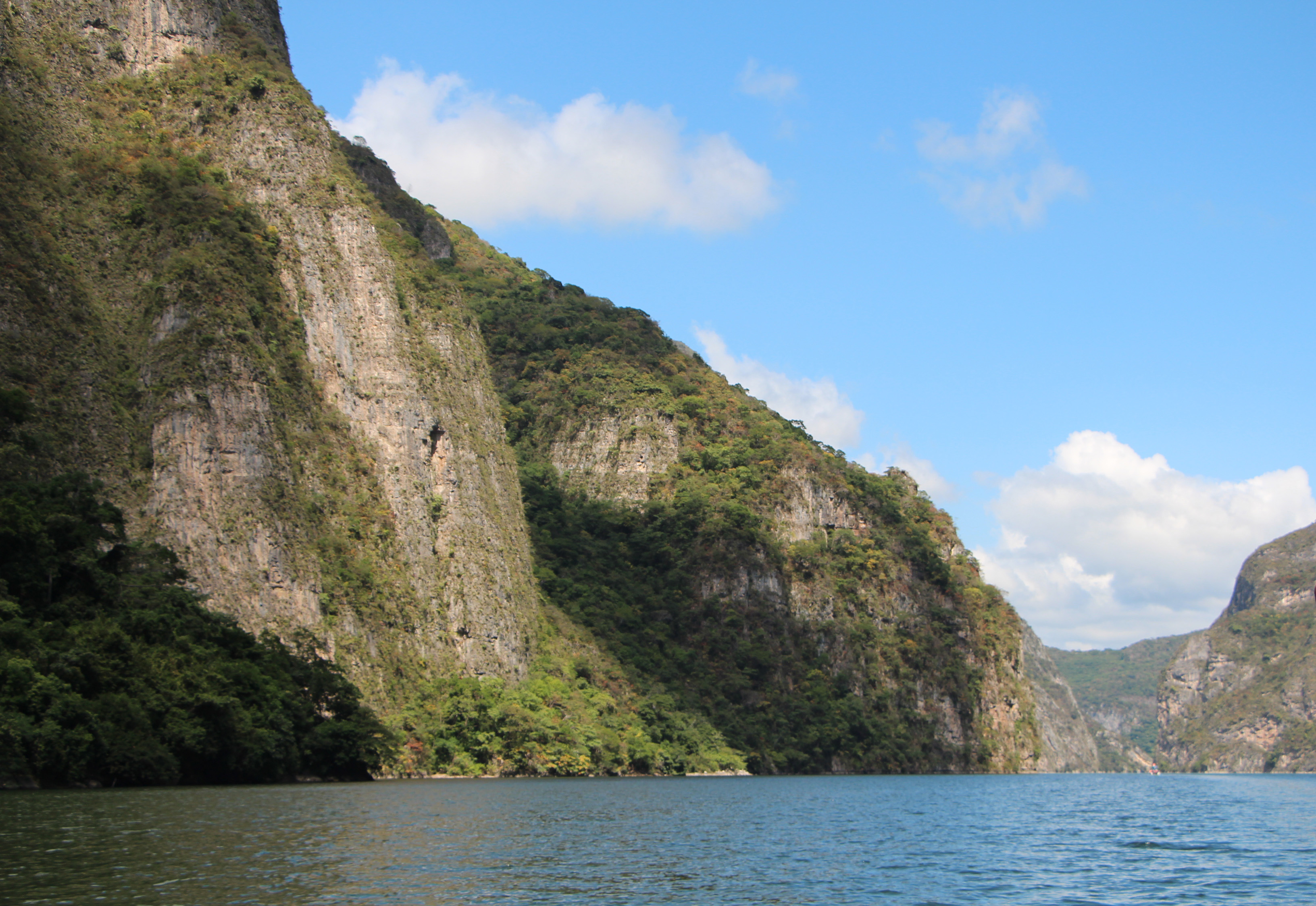
10. The canyon expands by about 2 centimeters per year. This geological process, which has been going on for millions of years, has not yet stopped. The average depth of the canyon is 250 meters, most of the walls are 200-700 meters high. The maximum width of the canyon is 2 kilometers. The highest point is 1200 meters, where El Roblar is located.